DEATH VALLEY NAT.PARK 2, CALIFORNIA AUGUST 2016
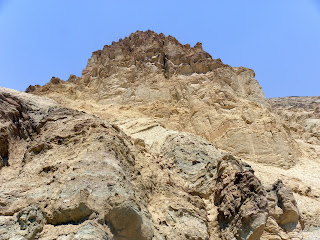
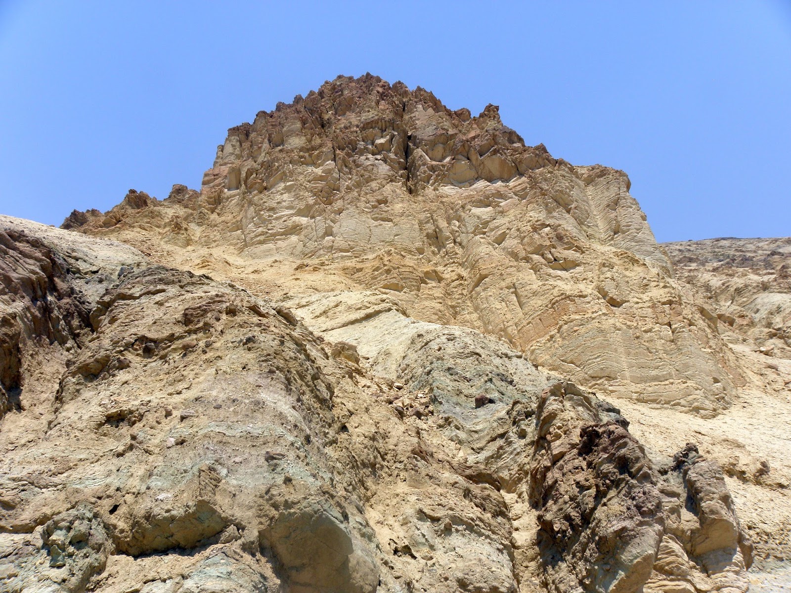
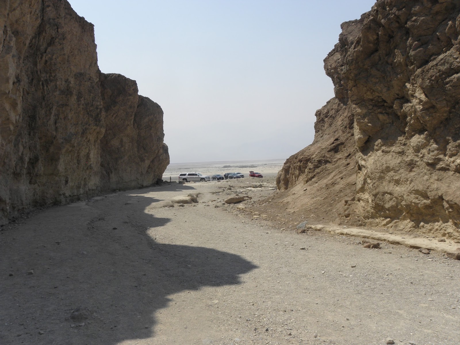
After visiting, looking around and taking many photos of Dantes View, Zabriskie Poin and the road till Furnace Creak Inn (given in Death Valley 1 album) we took the road south to Badwater Basin. In was flat road in the real valley, surrounded by mountain ranges. The first stop was at Golden Canyon. We left the car at the parking area and continued with Margy by foot taking The Interpretive Trail. It is narrow space between the mountains with very little elevation. We walked may be one hour till the end of the canyon, enjoying the beautiful closed views and taking photos.
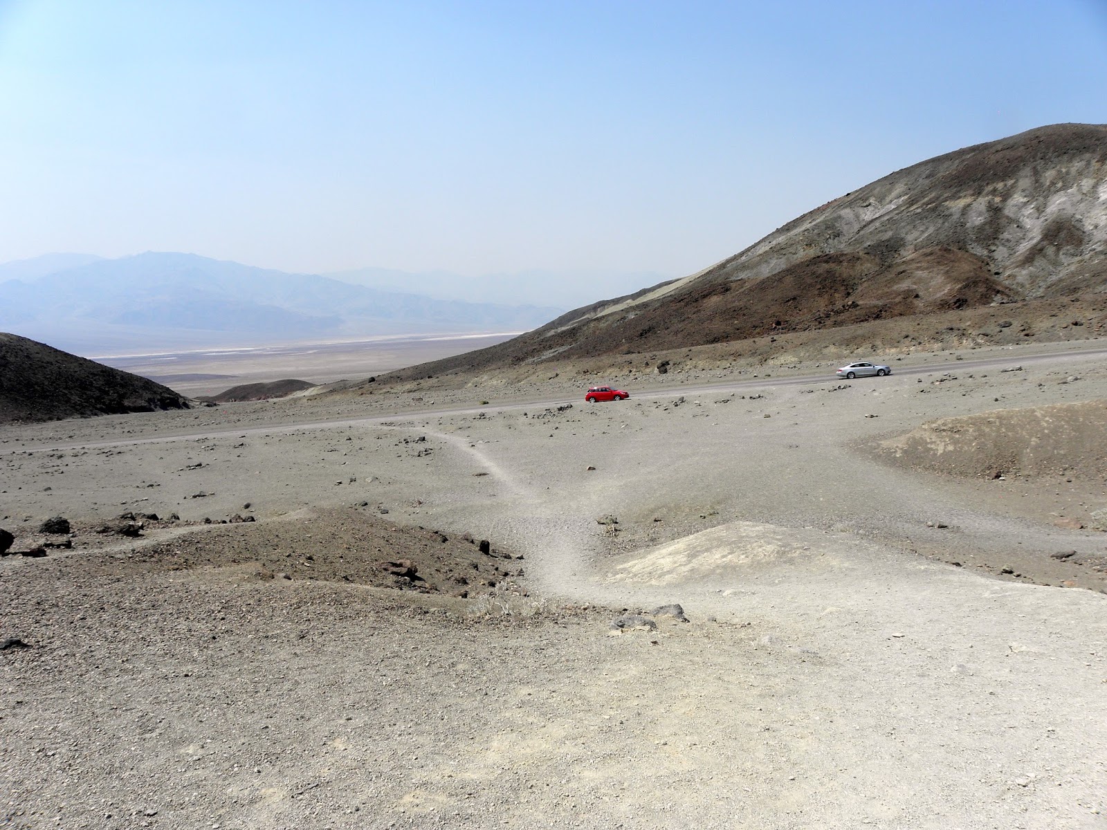
After that we continued around the Devil Golf Coarse strait to the Salt Flats. They are similar to the Salt Flats around Salt Lake City in Uta, we visited in September 2009 on our first driving to Arizona, trough WA, OR, NV and UT. It’s a big area covered by clear, pure white salt. I took one small packet sample for my grand son Leo. On our back way north we drove through 9 mile one-way Artist Drive loop road through the Artist Palette, a rumpled terrain of volcanic ash, whose yellow, red-oranges, greens and muted purples challenge plain-air painters. After CA 190 junction we stopped at the Furnace Creek Visitors center, Death Valley Museum and Furnace Creek Ranch with reach Museum of old horse carriages cars and agriculture machinery. Everywhere the view around the road 190 was similar – poor greenery, sands and rocks. We drove through Stovepipe Wells village. The most interested part of the Valley for me was The Sand Dunes. They are like some small part of African Sahara Desert
in the middle of California. All photos taken from Furnace Creek Ranch to the exit of Death Valley are given in this album.


No comments:
Post a Comment